


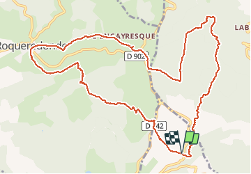


15.5 km | 24 km-effort

User


FREE GPS app for hiking
 SityTrail
IGN / Geographical institutes
SityTrail World
The world is yours!
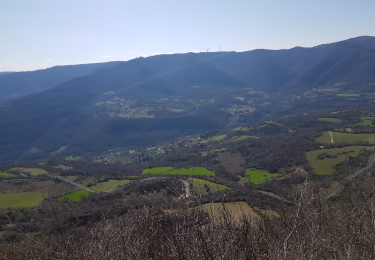
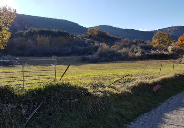
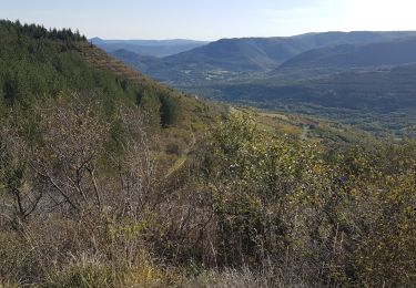
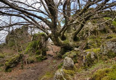
Trail Walking of 14.2 km to be discovered at Occitania, Hérault, Les Plans. This trail is proposed by PiloudeBamako.
Départ sur la D902 reliant Lodève à Roqueredonde, à proximité du radar météorologique (voir le point d'intérêt) situé sur la commune de "Les Plans" (à l'intersection entre la D902 et le GR71).
Suivre le GR 71 vers Roqueredonde par le Mas de Grèzes, puis direction l'Engayresque et son Temple bouddhiste Lerab Ling.
Retour en traversant de la forêt domaniale de l'Escandorgue en direction de Labeil.


28 photos in total. Please click on a photo to see them all in the gallery.

Walking

Walking

Walking
Walking
Walking
Nordic walking
Nordic walking
Nordic walking
Nordic walking
Superbe rando du début à la fin Nombreux passages ombragés À faire sans hésitation